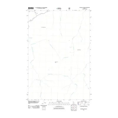
2011 Map of Tom Beal Peak
USGS Topo · Published 2011About this map
The Lochsa River carves through the northern edge of this Idaho County landscape, serving as a primary corridor for travel along Route 12. The terrain is defined by high ridgelines and a network of drainages, notably featuring Jerry Johnson Hot Springs and the lookout potential of Hot Springs Point. Further south, the topography rises toward Tom Beal Peak and Cooperation Point, which command the headwaters of numerous mountain streams. This watershed includes significant tributaries like Cooperation Creek, Wind Lakes Creek, and Warm Springs Creek. The lack of established settlements highlights the backcountry nature of this region, where name-labels primarily identify physical landmarks and the intricate creek systems that feed into the larger river valley.
Find a feature on this map
16 named features on this map. Tap any name to fly to it.
Don’t see what you’re looking for? This feature index may not catch every label — zoom into the map to look around manually.
Map Details
Editions of this 2011 Tom Beal Peak Map
This is the sole edition of this map. No revisions or reprints were ever made.
Other maps of this area

1911 · Lolo
USGS Topo · 1:250,000

1913 · Lolo
USGS Topo · 1:250,000

1956 · Hamilton
USGS Topo · 1:250,000

1959 · Hamilton
USGS Topo · 1:250,000

1960 · Hamilton
USGS Topo · 1:250,000

1964 · Hamilton
USGS Topo · 1:250,000

1964 · Rocky Point
USGS Topo · 1:24,000

1966 · Mc Connell Mtn
USGS Topo · 1:24,000

1966 · Grave Peak
USGS Topo · 1:24,000
1966 · Hungry Rock
USGS Topo · 1:24,000