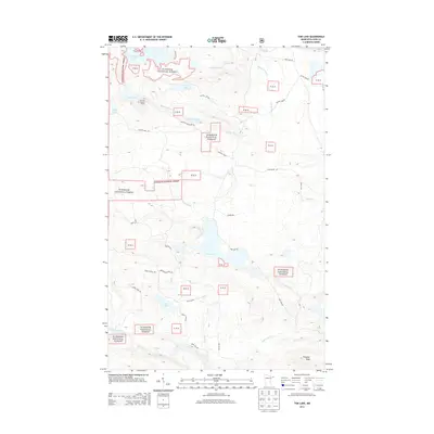
2013 Map of Tom Lake
USGS Topo · Published 2013About this map
Superior National Forest defines the character of this northern wilderness, where a complex network of waterways and forest roads provides the primary infrastructure for the region. The landscape is punctuated by significant peaks like Farquhar Knob and lookout points such as the Devilfish Lookout Tower, which overlooks the expansive Devilfish Lake. The drainage patterns are intricate, with the Swamp River and Brule River cutting through the terrain alongside numerous smaller streams like Beaverdam Cr and Mons Cr. While permanent settlements are absent, the presence of various forest routes like Camp 12 Rd and Greenwood River Rd suggests a landscape managed for timber and conservation. Recreational access is marked by the Brule Valley Trl and Lonely Pine Trl, connecting various remote water bodies including Tom Lake and the secluded Lost Lake.
Find a feature on this map
37 named features on this map. Tap any name to fly to it.
Don’t see what you’re looking for? This feature index may not catch every label — zoom into the map to look around manually.
Map Details
Editions of this 2013 Tom Lake Map
This is the sole edition of this map. No revisions or reprints were ever made.
Other maps of this area

1954 · Two Harbors
USGS Topo · 1:250,000

1957 · Two Harbors
USGS Topo · 1:250,000

1957 · Quetico
USGS Topo · 1:250,000

1958 · Two Harbors
USGS Topo · 1:250,000

1958 · Hancock
USGS Topo · 1:250,000

1959 · Northern Light Lake
USGS Topo · 1:24,000

1959 · Pine Lake East
USGS Topo · 1:24,000

1959 · Tom Lake
USGS Topo · 1:24,000

1959 · Pine Lake West
USGS Topo · 1:24,000

1959 · Fort William
USGS Topo · 1:250,000