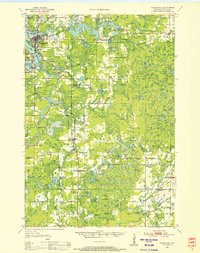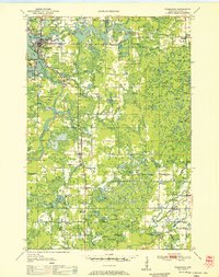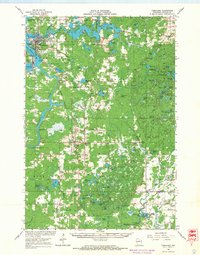
1966 Map of Tomahawk
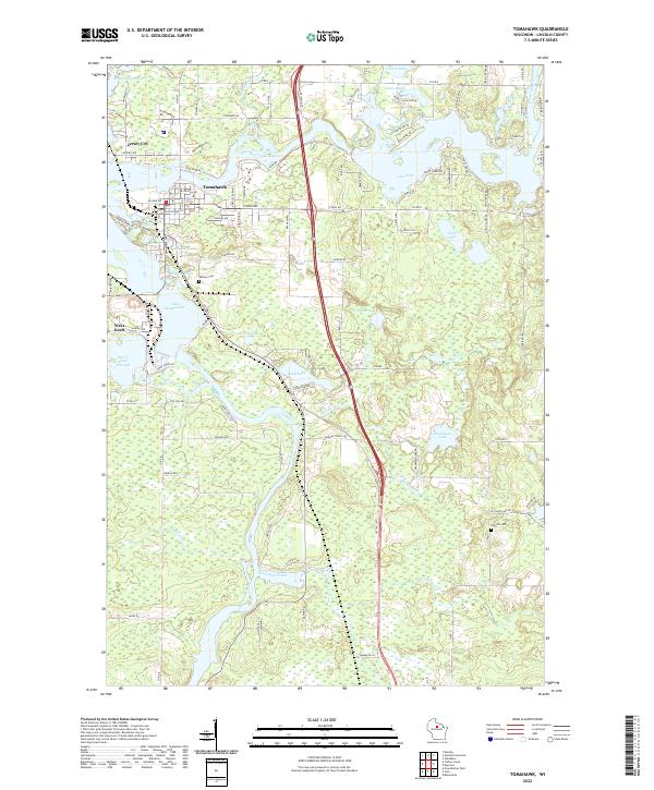
USGS Topo · Published 1968About this map
The Wisconsin River defines the industrial and natural character of this Lincoln County landscape, feeding the expansive Lake Mohawksin and Jersey City Flowage. The river's power is managed through significant engineering at Kings Dam and Grandmother Dam, supporting the milling and manufacturing centers at Tomahawk and West Kraft. Further south, the landscape transitions into a dense network of timberlands and small rural outposts like Irma and Gleason, where the Chicago Milwaukee St Paul and Pacific Railroad and the Marinette Tomahawk and Western Railroad provided critical transport for the region's resource-based economy. For those researching local heritage, the map identifies numerous small cemeteries and landmarks, including Woodlawn Cem, Bethany Ch, and the high-elevation Rock Falls Lookout Tower, offering a detailed view of the Northwoods before modern development shifted the rural footprint.
Find a feature on this map
109 named features on this map. Tap any name to fly to it.
Don’t see what you’re looking for? This feature index may not catch every label — zoom into the map to look around manually.
Map Details
Editions of this 1966 Tomahawk Map
This is the sole edition of this map. No revisions or reprints were ever made.
Historical Maps of Tomahawk Through Time
5 maps found