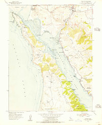
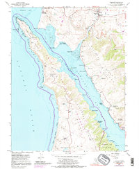
1954 Map of Tomales
USGS Topo · Published 1955About this map
Tomales Bay and the striking San Andreas Rift Zone define the landscape of this mid-century coastal survey. The map details the transition from the pastoral dairy lands of the Punta de los Reyes peninsula to the inland settlements. Local education and maritime research are prominent, anchored by the Joint Union High Sch in the town of Tomales and the College of Pacific Marine Sta of Biological Science near the shoreline. Along the eastern shore of the bay, the Old Railroad Grade traces the former path of the North Pacific Coast Railroad, passing through Marshall and past oyster-focused landings like Hamlet and Nicks Cove. Family-named homesteads such as Kehoe Ranch and McClures Ranch are still noted on the point, while recreational and ecological spaces like Tomales Bay State Park begin to appear along the coastal ridges.
Find a feature on this map
54 named features on this map. Tap any name to fly to it.
Don’t see what you’re looking for? This feature index may not catch every label — zoom into the map to look around manually.
Map Details
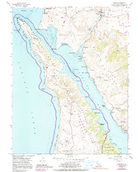
Editions of this 1954 Tomales Map
6 editions found
Other maps of this area

1916 · Point Reyes
USGS Topo · 1:48,000

1918 · Point Reyes
USGS Topo · 1:62,500

1935 · Sebastopol
USGS Topo · 1:48,000

1942 · Sebastopol
USGS Topo · 1:62,500

1942 · Bodega Head
USGS Topo · 1:24,000

1944 · Bodega Head
USGS Topo · 1:31,680

1947 · Santa Rosa
USGS Topo · 1:250,000

1949 · Santa Rosa
USGS Topo · 1:250,000

1953 · Drakes Bay
USGS Topo · 1:24,000
1954 · Two Rock
USGS Topo · 1:24,000