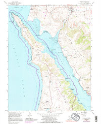
1954 Map of Tomales
USGS Topo · Published 1991About this map
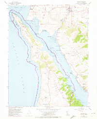
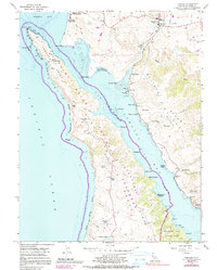
The San Andreas Rift Zone forms the dominant structural axis of this coastal landscape, creating the linear trough of Tomales Bay and separating the granite-based Point Reyes Peninsula from the mainland. Shoreline activity is concentrated along the eastern banks, where the Old Railroad Grade and small landings like Hamlet and Blakes Landing indicate a history of rail-and-water transport. Maritime industry and research are evident at the Univ of Pacific Marine Sta of Biological Science near Dillon Beach and numerous Oyster Pens scattered in the mudflats. The interior of the peninsula is characterized by isolated agricultural holdings such as Upper Pierce Ranch and Lower Pierce Ranch, connected by rugged gaps like Windy Gap. To the east, the settlement of Tomales serves as a local hub, anchored by the Joint Union High Sch and Union Sch.
Find a feature on this map
54 named features on this map. Tap any name to fly to it.
Don’t see what you’re looking for? This feature index may not catch every label — zoom into the map to look around manually.
Map Details
Editions of this 1954 Tomales Map
6 editions found
Other maps of this area

1916 · Point Reyes
USGS Topo · 1:48,000

1918 · Point Reyes
USGS Topo · 1:62,500

1935 · Sebastopol
USGS Topo · 1:48,000

1942 · Sebastopol
USGS Topo · 1:62,500

1942 · Bodega Head
USGS Topo · 1:24,000

1944 · Bodega Head
USGS Topo · 1:31,680

1947 · Santa Rosa
USGS Topo · 1:250,000

1949 · Santa Rosa
USGS Topo · 1:250,000

1953 · Drakes Bay
USGS Topo · 1:24,000
1954 · Two Rock
USGS Topo · 1:24,000