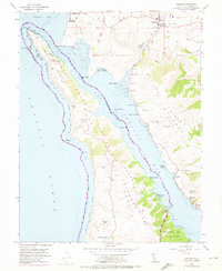
1954 Map of Tomales
USGS Topo · Published 1972About this map
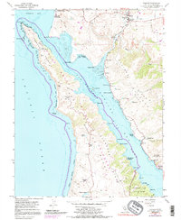
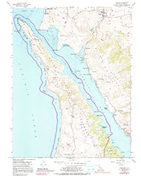
The dramatic geography of the San Andreas Rift Zone defines this coastal landscape, where Tomales Bay separates the mainland from the Point Reyes peninsula. Along the eastern shore, the infrastructure of an earlier era is visible in the winding path of the Old Railroad Grade, which skirts the waterline near Hamlet and Marshall. The interior of the peninsula remains dominated by established agricultural operations such as Lower Pierce Ranch, Upper Pierce Ranch, and Kehoe Ranch, illustrating the long-standing dairy and ranching tradition of Marin County.
Find a feature on this map
61 named features on this map. Tap any name to fly to it.
Don’t see what you’re looking for? This feature index may not catch every label — zoom into the map to look around manually.
Map Details
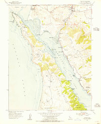
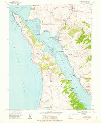
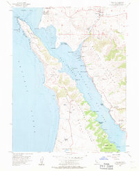
Editions of this 1954 Tomales Map
6 editions found
Other maps of this area

1916 · Point Reyes
USGS Topo · 1:48,000

1918 · Point Reyes
USGS Topo · 1:62,500

1935 · Sebastopol
USGS Topo · 1:48,000

1942 · Sebastopol
USGS Topo · 1:62,500

1942 · Bodega Head
USGS Topo · 1:24,000

1944 · Bodega Head
USGS Topo · 1:31,680

1947 · Santa Rosa
USGS Topo · 1:250,000

1949 · Santa Rosa
USGS Topo · 1:250,000

1953 · Drakes Bay
USGS Topo · 1:24,000
1954 · Two Rock
USGS Topo · 1:24,000