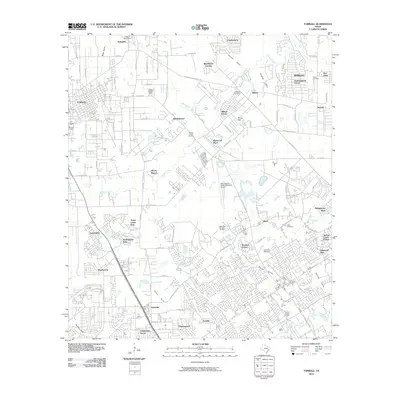
2010 Map of Tomball
USGS Topo · Published 2010About this map
Tomball and the surrounding Harris County communities appear here in a state of significant suburban development, characterized by a dense network of residential enclaves and complex drainage systems. The landscape is defined by its numerous gullies, such as Bogs Gully and Cannon Gully, which feed into the larger Willow Creek and Cypress Creek basins. This era shows the convergence of traditional rural landmarks with modern infrastructure, evidenced by the proximity of the David Wayne Hooks Memorial Airport to long-standing local hubs like Hufsmith.
Find a feature on this map
87 named features on this map. Tap any name to fly to it.
Don’t see what you’re looking for? This feature index may not catch every label — zoom into the map to look around manually.
Map Details
Editions of this 2010 Tomball Map
This is the sole edition of this map. No revisions or reprints were ever made.
Other maps of this area
1915 · Cypress
USGS Topo · 1:24,000
1916 · Rose Hill
USGS Topo · 1:24,000
1916 · Aldine
USGS Topo · 1:24,000

1916 · Louetta
USGS Topo · 1:24,000
1916 · Satsuma
USGS Topo · 1:24,000
1916 · Spring
USGS Topo · 1:24,000
1918 · Cypress
USGS Topo · 1:31,680
1919 · Aldine
USGS Topo · 1:31,680
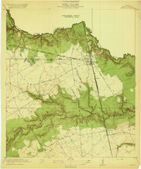
1920 · Spring
USGS Topo · 1:31,680
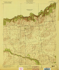
1920 · Rose Hill
USGS Topo · 1:31,680