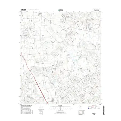
2016 Map of Tomball
USGS Topo · Published 2016About this map
The northern reaches of Houston and the developed landscape of Tomball are defined by a complex network of residential streets and natural drainage patterns. The area is intersected by numerous waterways, including Willow Creek, Cypress Creek, and several deep-cut gullies such as Cannon Gully and Faulkey Gully. This 2016 survey shows the dense suburban expansion into historic areas like Kohrville and Louetta. Genealogists will find significant value in the preservation of numerous family-named burial grounds scattered throughout the residential blocks, including Pillot Cem, Willow Creek Cem, and Bonin Cem. Aviation infrastructure is centered on the David Wayne Hooks Memorial Airport in the east. The map captures a moment of intensive land use where traditional Texas settlements like Hufsmith and Klein have integrated into the expanding Harris County metropolitan grid while maintaining their geographic identities.
Find a feature on this map
334 named features on this map. Tap any name to fly to it.
Don’t see what you’re looking for? This feature index may not catch every label — zoom into the map to look around manually.
Map Details
Editions of this 2016 Tomball Map
This is the sole edition of this map. No revisions or reprints were ever made.
Other maps of this area

1915 · Cypress
USGS Topo · 1:24,000

1916 · Rose Hill
USGS Topo · 1:24,000

1916 · Aldine
USGS Topo · 1:24,000

1916 · Louetta
USGS Topo · 1:24,000

1916 · Satsuma
USGS Topo · 1:24,000

1916 · Spring
USGS Topo · 1:24,000

1918 · Cypress
USGS Topo · 1:31,680

1919 · Aldine
USGS Topo · 1:31,680

1920 · Spring
USGS Topo · 1:31,680

1920 · Rose Hill
USGS Topo · 1:31,680