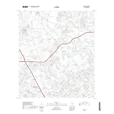
2019 Map of Tomball
USGS Topo · Published 2019About this map
Tomball and its surrounding communities are mapped during a period of significant suburban expansion in northern Harris County. The landscape is defined by the dense network of modern transportation corridors, including the Grand Pkwy and Hwy 249 Access Rd, which carve through established residential areas and commercial zones. Despite the rapid growth, numerous small family burial grounds are preserved across the quadrangle, including the Huckabee Cem, Pillot Cem, and Bonin Cem, offering a visible link to the area's rural ancestry.
Find a feature on this map
26 named features on this map. Tap any name to fly to it.
Don’t see what you’re looking for? This feature index may not catch every label — zoom into the map to look around manually.
Map Details
Editions of this 2019 Tomball Map
This is the sole edition of this map. No revisions or reprints were ever made.
Other maps of this area
1915 · Cypress
USGS Topo · 1:24,000
1916 · Rose Hill
USGS Topo · 1:24,000
1916 · Aldine
USGS Topo · 1:24,000

1916 · Louetta
USGS Topo · 1:24,000
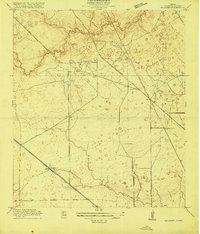
1916 · Satsuma
USGS Topo · 1:24,000
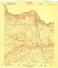
1916 · Spring
USGS Topo · 1:24,000
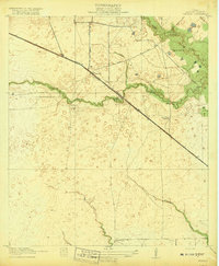
1918 · Cypress
USGS Topo · 1:31,680
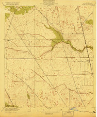
1919 · Aldine
USGS Topo · 1:31,680
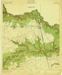
1920 · Spring
USGS Topo · 1:31,680
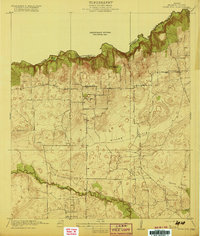
1920 · Rose Hill
USGS Topo · 1:31,680