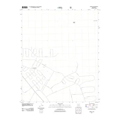
2011 Map of Tome SE
USGS Topo · Published 2011About this map
Casa Colorada serves as a primary reference point in this Valencia County landscape, where the terrain begins to rise toward Canyon del Rio and Canon del Sapo in the northeast. The map illustrates a distinctive pattern of rural residential development defined by a complex network of winding loops and drives. This infrastructure, including Tierra Grande and El Rito, suggests a planned expansion of the settlement footprint during the late 20th and early 21st centuries. Local connectivity is centered on Mora Dr, which ties together various residential circuits like Espada and Diablo Dr. The topography remains relatively open, with the contour intervals highlighting the subtle drainages and elevation changes characteristic of this portion of the Rio Grande corridor.
Find a feature on this map
26 named features on this map. Tap any name to fly to it.
Don’t see what you’re looking for? This feature index may not catch every label — zoom into the map to look around manually.
Map Details
Editions of this 2011 Tome SE Map
This is the sole edition of this map. No revisions or reprints were ever made.
Other maps of this area

1916 · La Joya
USGS Topo · 1:125,000

1917 · Estancia
USGS Topo · 1:125,000

1952 · Tome SE
USGS Topo · 1:24,000

1952 · Black Butte
USGS Topo · 1:24,000

1952 · Tome NE
USGS Topo · 1:24,000

1952 · Turn
USGS Topo · 1:24,000

1952 · Tome
USGS Topo · 1:24,000

1952 · Becker
USGS Topo · 1:24,000

1954 · Capilla Peak
USGS Topo · 1:24,000

1954 · Torreon
USGS Topo · 1:62,500