2022 Map of Toms Brook
USGS Topo · Published 2022About this map
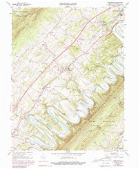
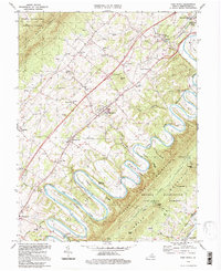
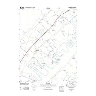
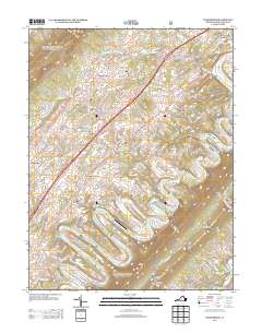
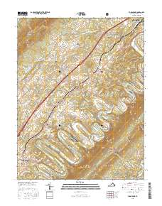
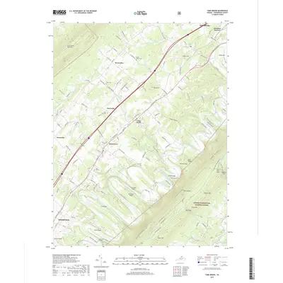
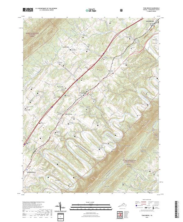
The North Fork Shenandoah River winds through the heart of the Shenandoah Valley, carving dramatic loops known as the Seven Bends near the town of Woodstock. This landscape is defined by its long limestone ridges, including Rittenour Ridge and Cox Ridge, which dictate the paths of secondary roads like Back Rd and the Old Valley Pike. The map reveals a dense network of family-named cemeteries such as the Fisher's Hill Cem and Bauserman - Strickler Cem, providing significant genealogical value for the surrounding communities of Toms Brook, Maurertown, and Fishers Hill. To the west, the steep slopes of Little North Mountain lead into the George Washington National Forest, while the eastern terrain is dominated by the massive profiles of Three Top Mtn and Green Mtn.
Find a feature on this map
174 named features on this map. Tap any name to fly to it.
Don’t see what you’re looking for? This feature index may not catch every label — zoom into the map to look around manually.
Map Details
Editions of this 2022 Toms Brook Map
This is the sole edition of this map. No revisions or reprints were ever made.
Historical Maps of Strasburg Through Time
7 maps found