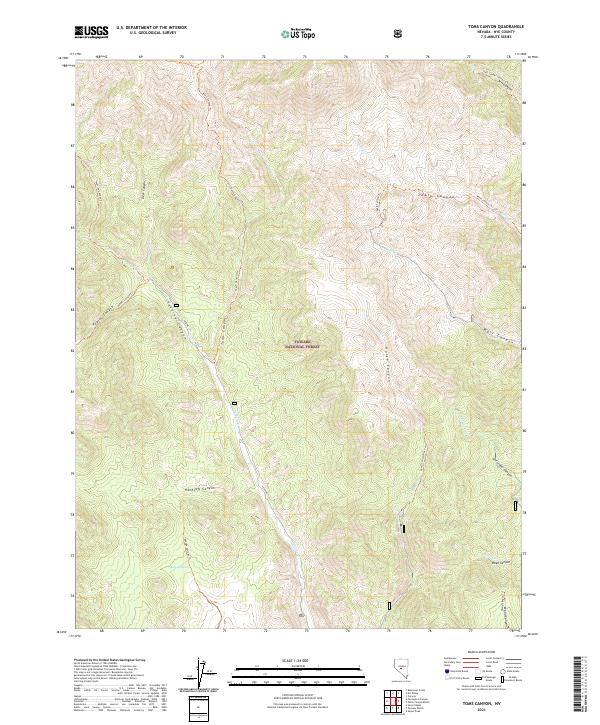
2021 Map of Toms Canyon
USGS Topo · Published 2021About this map
The high canyons and watercourses of the Toiyabe National Forest characterize this part of Nye County. The landscape is defined by a dense network of drainages and seasonal streams, including Peavine Cr, Pablo Cr, and Horse Cr, which have carved deep features like Handcuff Canyon and Antelope Canyon into the terrain.
Find a feature on this map
31 named features on this map. Tap any name to fly to it.
Don’t see what you’re looking for? This feature index may not catch every label — zoom into the map to look around manually.
Map Details
Editions of this 2021 Toms Canyon Map
This is the sole edition of this map. No revisions or reprints were ever made.
Other maps of this area

1907 · Tonopah
USGS Topo · 1:250,000

1908 · Tonopah
USGS Topo · 1:250,000

1956 · Tonopah
USGS Topo · 1:250,000

1959 · Tonopah
USGS Topo · 1:250,000

1962 · Tonopah
USGS Topo · 1:250,000

1971 · Carvers
USGS Topo · 1:24,000

1971 · Seyler Peak
USGS Topo · 1:24,000

1971 · Pablo Canyon Ranch
USGS Topo · 1:24,000
1980 · Arc Dome
USGS Topo · 1:24,000

1980 · Secret Basin
USGS Topo · 1:24,000