
1971 Map of Carvers
USGS Topo · Published 1974About this map
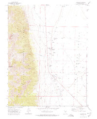
Big Smoky Valley dominates the eastern half of this terrain, where the arid floor is punctuated by numerous groundwater sources including Flowing Wells and thermal features like Darroughs Hot Springs. This landscape reflects the essential desert reliance on spring-fed ranching hubs such as Bergs Ranch and Wineglass Ranch. To the west, the topography rises sharply into the Toiyabe National Forest, where steep drainages like Devils Canyon and Belcher Canyon descend from the heights of Toiyabe Dome Southeast Summit.
Find a feature on this map
24 named features on this map. Tap any name to fly to it.
Don’t see what you’re looking for? This feature index may not catch every label — zoom into the map to look around manually.
Map Details
Editions of this 1971 Carvers Map
2 editions found
Other maps of this area

1907 · Tonopah
USGS Topo · 1:250,000

1908 · Tonopah
USGS Topo · 1:250,000

1956 · Tonopah
USGS Topo · 1:250,000

1959 · Tonopah
USGS Topo · 1:250,000

1962 · Tonopah
USGS Topo · 1:250,000

1971 · Carvers NW
USGS Topo · 1:24,000

1971 · Pablo Canyon Ranch
USGS Topo · 1:24,000
1971 · Carvers NE
USGS Topo · 1:24,000
1971 · Carvers SE
USGS Topo · 1:24,000
1971 · Round Mountain
USGS Topo · 1:24,000