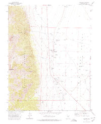
1971 Map of Carvers
USGS Topo · Published 1974About this map
The high Nevada desert meets the steep eastern front of the Toiyabe National Forest on this 1971 survey. The settlement of Carvers serves as a focal point along the highway, supported by an infrastructure of flowing wells and a nearby Landing Strip. Water is the defining resource of this arid landscape, evidenced by the presence of Darroughs Hot Springs, Hot Springs, and several family-run operations such as Bergs Ranch and Wineglass Ranch.
Find a feature on this map
27 named features on this map. Tap any name to fly to it.
Don’t see what you’re looking for? This feature index may not catch every label — zoom into the map to look around manually.
Map Details
Editions of this 1971 Carvers Map
2 editions found
Other maps of this area

1907 · Tonopah
USGS Topo · 1:250,000

1908 · Tonopah
USGS Topo · 1:250,000

1956 · Tonopah
USGS Topo · 1:250,000

1959 · Tonopah
USGS Topo · 1:250,000

1962 · Tonopah
USGS Topo · 1:250,000

1971 · Carvers NW
USGS Topo · 1:24,000

1971 · Carvers
USGS Topo · 1:24,000

1971 · Pablo Canyon Ranch
USGS Topo · 1:24,000
1971 · Carvers NE
USGS Topo · 1:24,000
1971 · Carvers SE
USGS Topo · 1:24,000