
1953 Map of Toms River
USGS Topo · Published 1958About this map
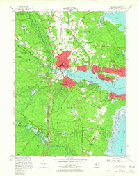
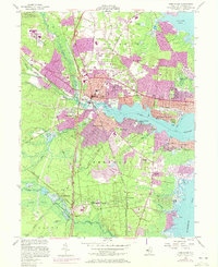
Toms River serves as the focal point of this coastal New Jersey landscape during a period of significant post-war infrastructure expansion. The Garden State Parkway is shown under construction or newly completed, slicing north-to-south through the Pinelands and intersecting the established routes of the Central RR of New Jersey and the Pennsylvania RR. Along the tidal waters of Silver Bay and Barnegat Bay, residential communities like Island Heights, Beachwood, and Ocean Gate are densely plotted, contrasting with the inland marshlands. A distinct local industry is visible in the numerous Cranberry Bogs scattered throughout the western sections near Double Trouble. Institutional landmarks are also prominent, including the riverside grounds of the Admiral Farragut Academy and the Pinehaven Sanitorium located near Crystal Lake in the southern reaches of Berkeley.
Find a feature on this map
47 named features on this map. Tap any name to fly to it.
Don’t see what you’re looking for? This feature index may not catch every label — zoom into the map to look around manually.
Map Details
Editions of this 1953 Toms River Map
3 editions found
Other maps of this area

1884 · Whitings
USGS Topo · 1:62,500

1888 · Barnegat
USGS Topo · 1:62,500

1888 · Asbury Park
USGS Topo · 1:62,500

1888 · Cassville
USGS Topo · 1:62,500

1888 · Whitings
USGS Topo · 1:62,500

1893 · Asbury Park
USGS Topo · 1:62,500

1893 · Barnegat
USGS Topo · 1:62,500

1894 · Cassville
USGS Topo · 1:62,500

1898 · Barnegat
USGS Topo · 1:62,500

1900 · Cassville
USGS Topo · 1:62,500