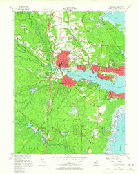
1953 Map of Toms River
USGS Topo · Published 1965About this map
The Toms River estuary and its surrounding coastal communities are captured here in the early 1950s, showing the early impact of the Garden State Parkway on the landscape. This major corridor, featuring Interchange 81 and a Service Area, begins to redefine the transit patterns once dominated by the Central RR of New Jersey. Notable institutional landmarks include the Admiral Farragut Academy on the riverbank and the Pinehaven Sanatorium situated further south near Crystal Lake.
Find a feature on this map
65 named features on this map. Tap any name to fly to it.
Don’t see what you’re looking for? This feature index may not catch every label — zoom into the map to look around manually.
Map Details
Editions of this 1953 Toms River Map
3 editions found

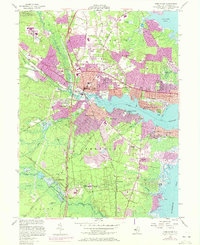
Other maps of this area

1884 · Whitings
USGS Topo · 1:62,500

1888 · Barnegat
USGS Topo · 1:62,500

1888 · Asbury Park
USGS Topo · 1:62,500

1888 · Cassville
USGS Topo · 1:62,500

1888 · Whitings
USGS Topo · 1:62,500

1893 · Asbury Park
USGS Topo · 1:62,500

1893 · Barnegat
USGS Topo · 1:62,500

1894 · Cassville
USGS Topo · 1:62,500

1898 · Barnegat
USGS Topo · 1:62,500

1900 · Cassville
USGS Topo · 1:62,500