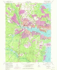
1953 Map of Toms River
USGS Topo · Published 1972About this map
The tidal waters of Toms River and Barnegat Bay define this mid-century portrait of coastal New Jersey, where established maritime communities meet the rapid expansion of the post-war era. The map documents a diverse local landscape, from the educational grounds of Admiral Farragut Academy and the recreational fairways of the Cranmoor Country Club to the industrial presence of the Central RR of New Jersey. Extensive purple revisions from 1970 illustrate the significant suburban growth spreading through Beachwood, Pine Beach, and Dover. To the south and west, the terrain remains less developed, marked by the namesake Cranberry Bogs and the curiously named Double Trouble settlement along Cedar Creek. Transportation infrastructure is a central theme, highlighting the corridor of the Garden State Parkway as it cuts through the landscape near South Toms River.
Find a feature on this map
60 named features on this map. Tap any name to fly to it.
Don’t see what you’re looking for? This feature index may not catch every label — zoom into the map to look around manually.
Map Details
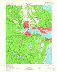
Editions of this 1953 Toms River Map
3 editions found

Other maps of this area

1884 · Whitings
USGS Topo · 1:62,500

1888 · Barnegat
USGS Topo · 1:62,500

1888 · Asbury Park
USGS Topo · 1:62,500

1888 · Cassville
USGS Topo · 1:62,500

1888 · Whitings
USGS Topo · 1:62,500

1893 · Asbury Park
USGS Topo · 1:62,500

1893 · Barnegat
USGS Topo · 1:62,500

1894 · Cassville
USGS Topo · 1:62,500

1898 · Barnegat
USGS Topo · 1:62,500

1900 · Cassville
USGS Topo · 1:62,500