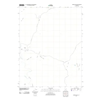
2010 Map of Tomsich Butte
USGS Topo · Published 2010About this map
Cowboy Camp stands as a focal point of human presence in this high-desert landscape, located near the distinctive landmark of Tomsich Butte. The terrain is defined by its deep drainage systems and stark geological features, including the winding course of Muddy Creek and the dramatic narrowing known as The Chute. To the east, the area opens into Hondu Country and Sinbad Country, names that evoke the region's rugged cattle-ranging and prospecting history.
Find a feature on this map
17 named features on this map. Tap any name to fly to it.
Don’t see what you’re looking for? This feature index may not catch every label — zoom into the map to look around manually.
Map Details
Editions of this 2010 Tomsich Butte Map
This is the sole edition of this map. No revisions or reprints were ever made.
Other maps of this area

1885 · San Rafael
USGS Topo · 1:250,000

1885 · Fish Lake
USGS Topo · 1:250,000

1896 · Fish Lake
USGS Topo · 1:250,000

1952 · Wild Horse
USGS Topo · 1:62,500

1952 · San Rafael Knob
USGS Topo · 1:62,500

1953 · Stinking Spring Creek 2 SE
USGS Topo · 1:24,000

1953 · Emery 4 NE
USGS Topo · 1:24,000

1953 · Emery 4 SE
USGS Topo · 1:24,000

1953 · Emery 1 SE
USGS Topo · 1:24,000

1954 · Stinking Spring Creek 3 NW
USGS Topo · 1:24,000