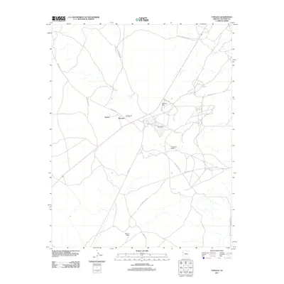
2011 Map of Tonalea
USGS Topo · Published 2011About this map
Tonalea serves as the central hub of this desert landscape, characterized by its position at the intersection of critical local travel routes. The presence of the Tonalea Post Office marks the community's importance as a regional gathering point within Coconino County. The topography is defined by ephemeral water features and distinctive rock formations, most notably the towering twin sandstone pillars known as Elephant Feet.
Find a feature on this map
16 named features on this map. Tap any name to fly to it.
Don’t see what you’re looking for? This feature index may not catch every label — zoom into the map to look around manually.
Map Details
Editions of this 2011 Tonalea Map
This is the sole edition of this map. No revisions or reprints were ever made.
Other maps of this area
1883 · Marsh Pass
USGS Topo · 1:250,000
1886 · Echo Cliffs
USGS Topo · 1:250,000
1891 · Echo Cliffs
USGS Topo · 1:250,000
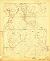
1892 · Marsh Pass
USGS Topo · 1:250,000
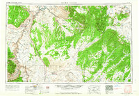
1956 · Marble Canyon
USGS Topo · 1:250,000
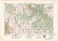
1959 · Marble Canyon
USGS Topo · 1:250,000
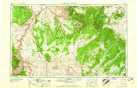
1961 · Marble Canyon
USGS Topo · 1:250,000
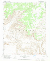
1967 · Pillars of Hercules
USGS Topo · 1:24,000
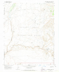
1967 · Begashibito Canyon
USGS Topo · 1:24,000
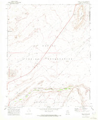
1969 · Tuba City NE
USGS Topo · 1:24,000