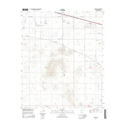
2014 Map of Tonopah
USGS Topo · Published 2014About this map
Tonopah occupies the northern edge of this high-desert landscape, where the agricultural grid of the Harquahala Valley transitions into the prominent Palo Verde Hills. The terrain is defined by complex drainage systems, including the broad Winters Wash and Delaney Wash, which cut through the arid flats and volcanic uplands. Evidence of rural desert infrastructure is visible in the presence of the Mauldin Airstrip near the western edge of the survey area.
Find a feature on this map
40 named features on this map. Tap any name to fly to it.
Don’t see what you’re looking for? This feature index may not catch every label — zoom into the map to look around manually.
Map Details
Editions of this 2014 Tonopah Map
This is the sole edition of this map. No revisions or reprints were ever made.
Other maps of this area

1942 · Vicksburg
USGS Topo · 1:250,000

1954 · Phoenix
USGS Topo · 1:250,000

1957 · Phoenix
USGS Topo · 1:250,000

1958 · Phoenix
USGS Topo · 1:250,000

1960 · Phoenix
USGS Topo · 1:250,000

1961 · Big Horn Mts
USGS Topo · 1:62,500

1962 · Belmont Mts
USGS Topo · 1:62,500

1962 · Cortez Peak
USGS Topo · 1:62,500

1962 · Arlington
USGS Topo · 1:62,500

1969 · Phoenix
USGS Topo · 1:250,000