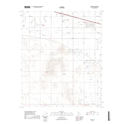
2018 Map of Tonopah
USGS Topo · Published 2018About this map
Tonopah occupies a landscape defined by desert drainages and sudden topography in western Maricopa County. This 2018 survey shows the community structured around an extensive grid of local roads like Osborn Rd and Thomas Rd, while the Palo Verde Hills rise prominently in the center of the quadrangle. The desert hydrology is marked by several significant ephemeral channels, including Winters Wash and Delaney Wash, which dictate the local terrain and road crossings. Transportation history is visible through the alignment of the Old Hassayampa Salome Hwy and modern thoroughfares like W Indian School Rd. On the western edge, the Mauldin Airstrip serves as a distinct landmark for regional aviation. The map details a transition from planned residential grids to the open desert flats and rugged hills that characterize this part of the Arizona landscape.
Find a feature on this map
36 named features on this map. Tap any name to fly to it.
Don’t see what you’re looking for? This feature index may not catch every label — zoom into the map to look around manually.
Map Details
Editions of this 2018 Tonopah Map
This is the sole edition of this map. No revisions or reprints were ever made.
Other maps of this area

1942 · Vicksburg
USGS Topo · 1:250,000

1954 · Phoenix
USGS Topo · 1:250,000

1957 · Phoenix
USGS Topo · 1:250,000

1958 · Phoenix
USGS Topo · 1:250,000

1960 · Phoenix
USGS Topo · 1:250,000

1961 · Big Horn Mts
USGS Topo · 1:62,500

1962 · Belmont Mts
USGS Topo · 1:62,500

1962 · Cortez Peak
USGS Topo · 1:62,500

1962 · Arlington
USGS Topo · 1:62,500

1969 · Phoenix
USGS Topo · 1:250,000