2021 Map of Tonopah
USGS Topo · Published 2021About this map
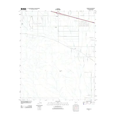
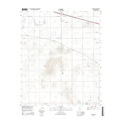
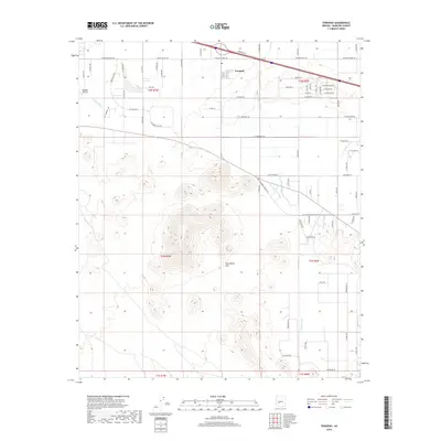
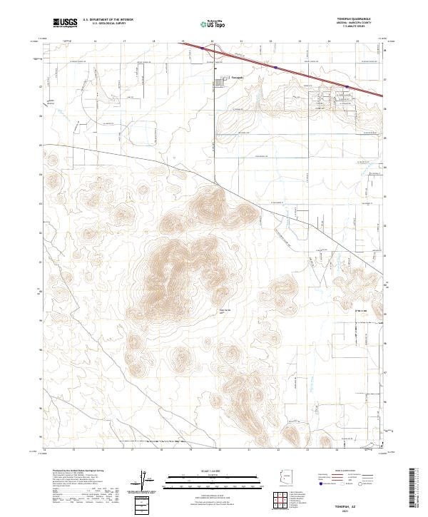
Tonopah serves as the focal point of this arid landscape, where the intersection of major desert thoroughfares meets the foothills of the Palo Verde Hills. The map details a transition from the agricultural and residential grids along W Indian School Rd to the natural drainage patterns of Winters Wash and Fourmile Wash. Evidence of small-scale aviation and rural land use is clear through the presence of the Mauldin Airstrip and the winding Aro Ranch Rd. The survey captures the modern road network, including the Old Hassayampa Salome Hwy, juxtaposed against the vast open spaces that define this section of the West Valley. This document records the spatial relationship between emerging desert communities and the ancient topographical features that dictate the region's development.
Find a feature on this map
34 named features on this map. Tap any name to fly to it.
Don’t see what you’re looking for? This feature index may not catch every label — zoom into the map to look around manually.
Map Details
Editions of this 2021 Tonopah Map
This is the sole edition of this map. No revisions or reprints were ever made.
Historical Maps of Tonopah Through Time
5 maps found