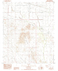
1984 Map of Tonopah
USGS Topo · Published 1984About this map
The Palo Verde Hills dominate the central landscape of this 1984 survey, rising above the desert floor and the drainage patterns of Delaney Wash and Fourmile Wash. The small settlement of Tonopah is situated in the north, showing a nascent grid of roads and residential development near the Borrow Pit. This area of Maricopa County represents a transition from high-desert terrain to managed agricultural and utility corridors, marked by the presence of a Gravel Pit and protective levees along the watercourses.
Find a feature on this map
14 named features on this map. Tap any name to fly to it.
Don’t see what you’re looking for? This feature index may not catch every label — zoom into the map to look around manually.
Map Details
Editions of this 1984 Tonopah Map
This is the sole edition of this map. No revisions or reprints were ever made.
Other maps of this area

1942 · Vicksburg
USGS Topo · 1:250,000

1954 · Phoenix
USGS Topo · 1:250,000

1957 · Phoenix
USGS Topo · 1:250,000

1958 · Phoenix
USGS Topo · 1:250,000

1960 · Phoenix
USGS Topo · 1:250,000

1961 · Big Horn Mts
USGS Topo · 1:62,500

1962 · Belmont Mts
USGS Topo · 1:62,500

1962 · Cortez Peak
USGS Topo · 1:62,500

1962 · Arlington
USGS Topo · 1:62,500

1969 · Phoenix
USGS Topo · 1:250,000