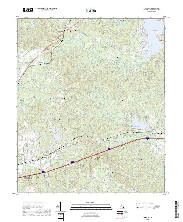
2024 Map of Toomsuba
USGS Topo · Published 2024About this map
Toomsuba and the surrounding Lauderdale County landscape are defined by a network of creeks and small settlements east of Meridian. The area is geographically organized around the winding paths of Toomsuba Creek and Nanabe Creek, which cut through the terrain alongside significant transportation corridors. Numerous family and community burial grounds, such as White Cem, Hearn Cem, and the Old Marion Cem, are scattered throughout the region, offering a clear map of local genealogical history.
Find a feature on this map
93 named features on this map. Tap any name to fly to it.
Don’t see what you’re looking for? This feature index may not catch every label — zoom into the map to look around manually.
Map Details
Editions of this 2024 Toomsuba Map
This is the sole edition of this map. No revisions or reprints were ever made.
Other maps of this area

1921 · Meridian
USGS Topo · 1:48,000

1923 · Meridian
USGS Topo · 1:62,500

1953 · Meridian
USGS Topo · 1:250,000

1957 · Meridian
USGS Topo · 1:250,000

1962 · Daleville
USGS Topo · 1:24,000

1962 · Lauderdale
USGS Topo · 1:24,000

1965 · Meridian
USGS Topo · 1:250,000

1971 · Vimville
USGS Topo · 1:24,000

1971 · Meridian South
USGS Topo · 1:24,000

1971 · Meridian North
USGS Topo · 1:24,000