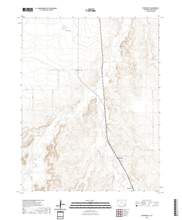
2022 Map of Toonerville
USGS Topo · Published 2022About this map
Toonerville and the small settlement of Ruxton occupy a high-plains landscape defined by seasonal drainages and early irrigation works in Bent County. The map details a cattle-country geography where family names are etched into the terrain at Heinan Flats and Heinan Lake. A rare point of genealogical importance, Heinan Cem sits near the intersection of Co RD P, providing a specific anchor for local history research. The presence of the Eagle Rock Ditch and County Canal underscores the vital role of water management in this arid stretch of Colorado. Named landforms like Eagle Nest and Penrose Draw break the expansive topography, which is otherwise gridded by county roads such as Co RD K and Co RD L.
Find a feature on this map
19 named features on this map. Tap any name to fly to it.
Don’t see what you’re looking for? This feature index may not catch every label — zoom into the map to look around manually.
Map Details
Editions of this 2022 Toonerville Map
This is the sole edition of this map. No revisions or reprints were ever made.
Other maps of this area

1891 · Higbee
USGS Topo · 1:125,000

1893 · Higbee
USGS Topo · 1:125,000

1955 · La Junta
USGS Topo · 1:250,000

1958 · La Junta
USGS Topo · 1:250,000

1966 · Toonerville SE
USGS Topo · 1:24,000
1966 · Gilpin
USGS Topo · 1:24,000
1966 · Toonerville
USGS Topo · 1:24,000
1966 · Toonerville NE
USGS Topo · 1:24,000
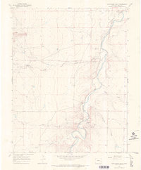
1966 · Hackamore Ranch
USGS Topo · 1:24,000
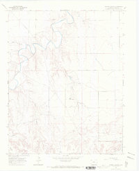
1966 · Turkey Canyon
USGS Topo · 1:24,000