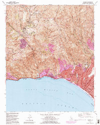
1991 Map of Topanga
USGS Topo · Published 1995About this map
Santa Monica Mountains dominate this 1991 landscape, where the steep canyons of the Santa Monica Mountains National Recreation Area meet the coastline of Santa Monica Bay. The map captures the suburban density of Pacific Palisades and Santa Monica alongside the more dispersed canyon settlements of Topanga, Fernwood, and Sylvia Park. Coastal access is a primary feature, shown through a string of public lands including Topanga State Beach and Will Rogers State Beach.
Find a feature on this map
53 named features on this map. Tap any name to fly to it.
Don’t see what you’re looking for? This feature index may not catch every label — zoom into the map to look around manually.
Map Details
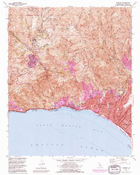
Editions of this 1991 Topanga Map
2 editions found
Other maps of this area

1894 · Los Angeles
USGS Topo · 1:62,500

1896 · Redondo
USGS Topo · 1:62,500

1896 · Santa Monica
USGS Topo · 1:62,500

1898 · Santa Monica
USGS Topo · 1:62,500

1900 · Los Angeles
USGS Topo · 1:62,500

1901 · Southern California Sheet No. 1
USGS Topo · 1:250,000

1902 · Santa Monica
USGS Topo · 1:62,500

1903 · Calabasas
USGS Topo · 1:62,500

1903 · Camulos
USGS Topo · 1:125,000

1904 · Southern California Sheet No. 1
USGS Topo · 1:250,000