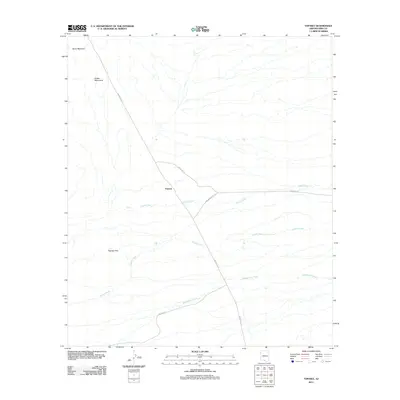
2011 Map of Topawa
USGS Topo · Published 2011About this map
Topawa serves as the central settlement on this 2011 survey, situated at the junction of several arterial desert routes. The landscape is defined by its complex drainage network, where seasonal waterways like Fresnal Wash, Topawa Wash, and Baboquivari Wash weave across the arid basin. These washes illustrate the natural water management patterns critical to life in the Sonoran desert environment.
Find a feature on this map
11 named features on this map. Tap any name to fly to it.
Don’t see what you’re looking for? This feature index may not catch every label — zoom into the map to look around manually.
Map Details
Editions of this 2011 Topawa Map
This is the sole edition of this map. No revisions or reprints were ever made.
Other maps of this area

1941 · Presumido Peak
USGS Topo · 1:62,500

1941 · Baboquivari Peak
USGS Topo · 1:62,500

1941 · Vamori
USGS Topo · 1:62,500

1941 · Sells
USGS Topo · 1:62,500

1943 · Sells
USGS Topo · 1:62,500

1943 · Fresnal
USGS Topo · 1:125,000

1943 · Presumido Peak
USGS Topo · 1:62,500

1943 · Vamori
USGS Topo · 1:62,500

1944 · Baboquivari Peak
USGS Topo · 1:62,500

1956 · Nogales
USGS Topo · 1:250,000