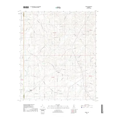
2018 Map of Topeka
USGS Topo · Published 2018About this map
Topeka and Bristers Store serve as the primary focal points of this rural landscape in Lawrence County, where small-scale settlements are connected by a network of named local roads. The terrain is deeply carved by numerous watercourses, including Halls Cr, Coopers Cr, and E Topisaw Cr, creating a complex drainage pattern that has historically influenced the placement of farms and cemeteries like the Pleasant Grove Cem near the Lincoln County border. The road names, such as Ben Mason Rd and Thames Nelson Rd, provide genealogical markers of the families who settled this area. To the east, the landscape transitions toward Tilton Cr, while specialized labels like Indian Mound Pl hint at much older cultural layers within the modern agricultural and timbered setting.
Find a feature on this map
85 named features on this map. Tap any name to fly to it.
Don’t see what you’re looking for? This feature index may not catch every label — zoom into the map to look around manually.
Map Details
Editions of this 2018 Topeka Map
This is the sole edition of this map. No revisions or reprints were ever made.
Other maps of this area

1953 · Natchez
USGS Topo · 1:250,000

1956 · Natchez
USGS Topo · 1:250,000

1959 · Natchez
USGS Topo · 1:250,000

1970 · Topeka
USGS Topo · 1:24,000

1970 · Monticello
USGS Topo · 1:24,000

1970 · Darbun
USGS Topo · 1:24,000

1970 · Jayess
USGS Topo · 1:24,000

1970 · Nola
USGS Topo · 1:24,000
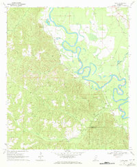
1970 · Tilton
USGS Topo · 1:24,000

1972 · Fair Oak Springs
USGS Topo · 1:24,000