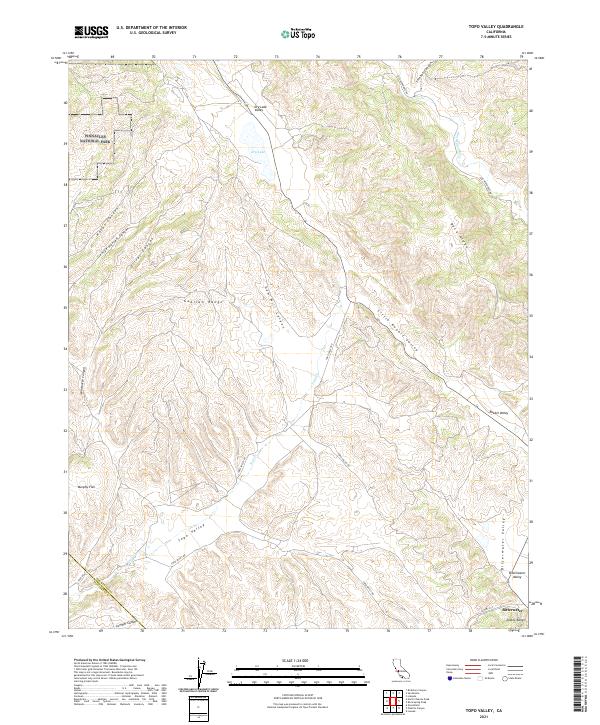
2021 Map of Topo Valley
USGS Topo · Published 2021About this map
Bitterwater stands as the primary settlement in this corner of the Diablo Range, situated where the Bitterwater Valley meets the lower slopes of the hills. The landscape is defined by the parallel elevations of the Gabilan Range to the west and the high ridges to the east, creating a corridor of isolated valleys and canyons. Notable features include Pinnacles National Park bordering the western edge and the ephemeral Dry Lake in the north. The drainage of Topo Cr and the San Benito River shape the terrain, while routes like Old Hernandez Rd and Topo Valley Rd provide the only infrastructure through these cattle-ranching and wilderness areas. This map documents a sparsely populated region where traditional land use patterns, such as those at Murphy Flat, persist within a rugged geological framework.
Find a feature on this map
34 named features on this map. Tap any name to fly to it.
Don’t see what you’re looking for? This feature index may not catch every label — zoom into the map to look around manually.
Map Details
Editions of this 2021 Topo Valley Map
This is the sole edition of this map. No revisions or reprints were ever made.
Other maps of this area

1912 · Metz
USGS Topo · 1:31,680

1913 · Panoche
USGS Topo · 1:125,000

1915 · Priest Valley
USGS Topo · 1:125,000

1919 · San Benito
USGS Topo · 1:62,500

1921 · Metz
USGS Topo · 1:62,500

1931 · San Benito
USGS Topo · 1:62,500

1940 · Metz
USGS Topo · 1:62,500

1940 · San Benito
USGS Topo · 1:62,500

1943 · Hernandez Valley
USGS Topo · 1:62,500

1944 · Hernandez Valley
USGS Topo · 1:62,500