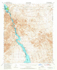
1950 Map of Topock
USGS Topo · Published 1966About this map
The Colorado River serves as the central artery of this 1950s landscape, winding through the sharp relief of the Mohave Mountains and widening into the expansive Havasu Lake. Near the northern bend, the settlement of Topock marks a critical transit point where the Atchison Topeka and Santa Fe railroad and the storied National Old Trails Road cross the water. This era captured by the survey shows a desert economy transitioning from its mining roots to managed conservation and transport, with the Havasu Lake National Wildlife Refuge protecting the riverbanks.
Find a feature on this map
46 named features on this map. Tap any name to fly to it.
Don’t see what you’re looking for? This feature index may not catch every label — zoom into the map to look around manually.
Map Details
Editions of this 1950 Topock Map
3 editions found

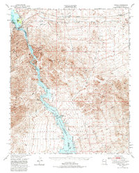
Other maps of this area

1903 · Needles
USGS Topo · 1:125,000

1904 · Needles Special
USGS Topo · 1:125,000

1911 · Parker
USGS Topo · 1:125,000

1927 · Yucca
USGS Topo · 1:62,500

1927 · Buck Mountains
USGS Topo · 1:62,500

1929 · Buck Mountains
USGS Topo · 1:62,500

1929 · Yucca
USGS Topo · 1:62,500

1943 · Giers Basin
USGS Topo · 1:62,500

1943 · Topock
USGS Topo · 1:62,500

1943 · Whipple Mts.
USGS Topo · 1:62,500