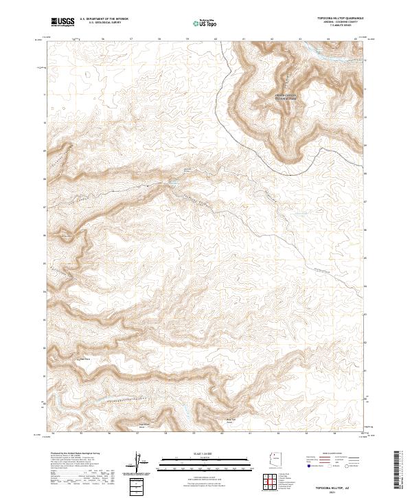
2021 Map of Topocoba Hilltop
USGS Topo · Published 2021About this map
Grand Canyon National Park borders the eastern edge of this terrain, where the Colorado River flows through deep carved channels punctuated by Forster Rapids. The landscape is dominated by complex drainages and plateau points, including the deep Topocoba Gorge and Havatagvitch Canyon. Cultural landmarks are centered on the remote Topocoba Hilltop, which serves as a significant junction for the Topocoba Hilltop Rd.
Find a feature on this map
25 named features on this map. Tap any name to fly to it.
Don’t see what you’re looking for? This feature index may not catch every label — zoom into the map to look around manually.
Map Details
Editions of this 2021 Topocoba Hilltop Map
This is the sole edition of this map. No revisions or reprints were ever made.
Other maps of this area

1886 · Kaibab
USGS Topo · 1:250,000

1953 · Grand Canyon
USGS Topo · 1:250,000

1957 · Grand Canyon
USGS Topo · 1:250,000

1958 · Grand Canyon
USGS Topo · 1:250,000

1960 · Grand Canyon
USGS Topo · 1:250,000

1962 · Kanab Point
USGS Topo · 1:62,500

1962 · Havasupai Point
USGS Topo · 1:62,500
1962 · Powell Plateau
USGS Topo · 1:62,500

1962 · Supai
USGS Topo · 1:62,500

1984 · Grand Canyon
USGS Topo · 1:100,000