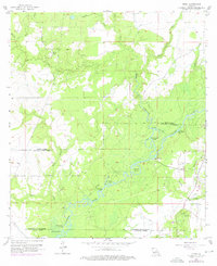
1957 Map of Topsy
USGS Topo · Published 1976About this map
The Calcasieu River dominates this landscape in the mid-1950s, winding through a complex network of bayous, marshes, and man-made alterations. The presence of features like the Barnes Creek Cutoff, Tom Bayou Cutoff, and Marsh Bayou Cutoff indicates a river system actively managed for drainage or navigation. Along the banks, distinctive terrain features such as Grays Bluff and the sharp turn at Dawson Bend define the waterway's character.
Find a feature on this map
37 named features on this map. Tap any name to fly to it.
Don’t see what you’re looking for? This feature index may not catch every label — zoom into the map to look around manually.
Map Details
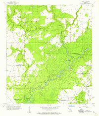
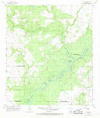
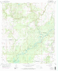
Editions of this 1957 Topsy Map
4 editions found
Other maps of this area

1935 · Moss Bluff
USGS Topo · 1:31,680

1935 · Gaytine
USGS Topo · 1:31,680

1935 · Longville
USGS Topo · 1:31,680

1947 · Gaytine
USGS Topo · 1:31,680

1947 · Fenton
USGS Topo · 1:31,680

1947 · Moss Bluff
USGS Topo · 1:31,680

1947 · Hecker
USGS Topo · 1:31,680

1947 · Le Blanc
USGS Topo · 1:31,680

1947 · Edna
USGS Topo · 1:31,680

1947 · Reeves
USGS Topo · 1:31,680