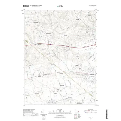
2019 Map of Topton
USGS Topo · Published 2019About this map
The Lehigh and Berks County line divides this agricultural landscape, where historic crossroads and family farmsteads remain clearly visible. Traditional Pennsylvania Dutch heritage is evidenced by the density of small-scale burial sites, including the Sassman Family Cem, Schmidt Family Burial Ground, and the Hottenstein Burial Ground. These ancestral plots are interspersed among long-established hamlets like Seiberlingville and Hynemansville, which grew around local intersections and country churches.
Find a feature on this map
65 named features on this map. Tap any name to fly to it.
Don’t see what you’re looking for? This feature index may not catch every label — zoom into the map to look around manually.
Map Details
Editions of this 2019 Topton Map
This is the sole edition of this map. No revisions or reprints were ever made.
Other maps of this area

1894 · Reading
USGS Topo · 1:62,500

1902 · Boyertown
USGS Topo · 1:62,500

1902 · Slatington
USGS Topo · 1:62,500

1909 · Hamburg
USGS Topo · 1:62,500

1911 · Hamburg
USGS Topo · 1:62,500

1913 · Reading
USGS Topo · 1:62,500

1915 · Reading
USGS Topo · 1:62,500
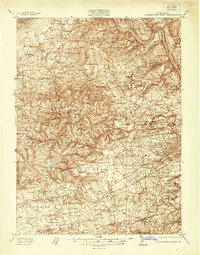
1937 · Allentown West
USGS Topo · 1:48,000
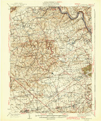
1942 · Allentown West
USGS Topo · 1:62,500
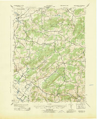
1943 · Manatawny
USGS Topo · 1:31,680
Featured Places
- Maxatawny Township, PA
- Longswamp Township, PA
- Weisenberg Township, PA
- Topton, PA
- Hancock, Longswamp Township