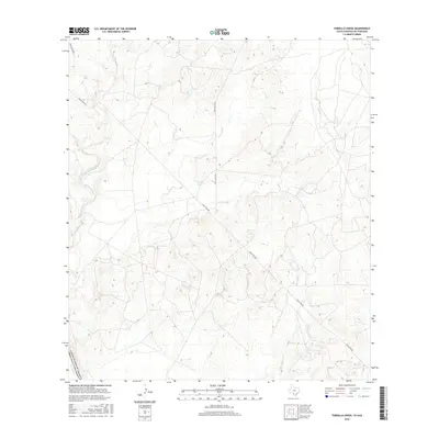
2016 Map of Tordillo Creek
USGS Topo · Published 2016About this map
The Rio Grande defines the southwest corner of this South Texas landscape, where the international boundary of the United States of America follows the river's winding course. This semi-arid region is characterized by a network of intermittent drainage systems, including San Lorenzo Creek, Tordillo Creek, and Espada Cr, which channel seasonal water toward the Rio Grande basin. The presence of Tordillo Tank underscores the importance of water management in this cattle-ranching country, providing a necessary collection point in a terrain marked by limestone hills and brush.
Find a feature on this map
11 named features on this map. Tap any name to fly to it.
Don’t see what you’re looking for? This feature index may not catch every label — zoom into the map to look around manually.
Map Details
Editions of this 2016 Tordillo Creek Map
This is the sole edition of this map. No revisions or reprints were ever made.
Other maps of this area

1923 · Palafox
USGS Topo · 1:62,500

1929 · Cotulla
USGS Topo · 1:125,000

1940 · San Loranzo Creek
USGS Topo · 1:62,500

1940 · Chupadera
USGS Topo · 1:62,500

1953 · Crystal City
USGS Topo · 1:250,000

1955 · Crystal City
USGS Topo · 1:250,000

1956 · Laredo
USGS Topo · 1:250,000

1958 · Eagle Pass
USGS Topo · 1:250,000

1961 · Crystal City
USGS Topo · 1:250,000

1965 · Eagle Pass
USGS Topo · 1:250,000