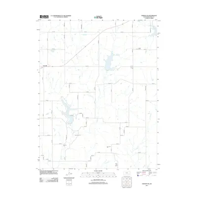
2012 Map of Toronto SE
USGS Topo · Published 2012About this map
Woodson State Fishing Lake and Wildlife Area occupies the central landscape of this Woodson County quadrangle, where the waters of Sandy Cr are impounded near Fegan Rd. The area is defined by a significant history of resource extraction, clearly evidenced by the Big Sandy Oil Field, Silver City Oil Field, and Yates Center Oil Field distributed across the prairie. The settlement of Batesville sits in the northwest, while the southern terrain is marked by the unique geological formation of the Silver City Dome. For those tracing local heritage, the map identifies both the Big Sandy Cem and Belmont Cem, providing precise locations for family research. A network of rural roads, many named for local flora and fauna such as Hawk Rd and Longhorn Rd, connects these remote industrial sites and community landmarks.
Find a feature on this map
47 named features on this map. Tap any name to fly to it.
Don’t see what you’re looking for? This feature index may not catch every label — zoom into the map to look around manually.
Map Details
Editions of this 2012 Toronto SE Map
This is the sole edition of this map. No revisions or reprints were ever made.
Other maps of this area

1886 · Fredonia
USGS Topo · 1:125,000

1894 · Fredonia
USGS Topo · 1:125,000

1938 · Fredonia
USGS Topo · 1:62,500

1938 · Altoona
USGS Topo · 1:62,500

1939 · Altoona
USGS Topo · 1:48,000

1939 · Fredonia
USGS Topo · 1:48,000

1942 · Fredonia
USGS Topo · 1:62,500

1943 · Fredonia
USGS Topo · 1:62,500

1943 · Altoona
USGS Topo · 1:62,500

1947 · Joplin
USGS Topo · 1:250,000