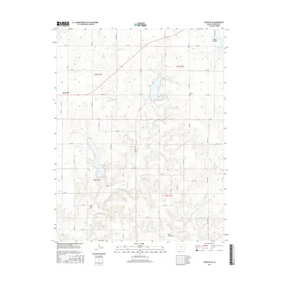
2015 Map of Toronto SE
USGS Topo · Published 2015About this map
Yates Center and the rural crossroads of Batesville anchor this Woodson County landscape, mapped as the local economy transitioned into the twenty-first century. The terrain is defined by the branching drainage of S Owl Cr and Sandy Cr, which carve through a grid of section-line roads named after local flora and fauna, such as Fawn Rd, Grouse Rd, and Longhorn Rd. Geologic interest is found at the Silver City Dome in the southern portion of the quadrangle, a distinct feature of the regional topography.
Find a feature on this map
41 named features on this map. Tap any name to fly to it.
Don’t see what you’re looking for? This feature index may not catch every label — zoom into the map to look around manually.
Map Details
Editions of this 2015 Toronto SE Map
This is the sole edition of this map. No revisions or reprints were ever made.
Other maps of this area

1886 · Fredonia
USGS Topo · 1:125,000

1894 · Fredonia
USGS Topo · 1:125,000

1938 · Fredonia
USGS Topo · 1:62,500

1938 · Altoona
USGS Topo · 1:62,500

1939 · Altoona
USGS Topo · 1:48,000

1939 · Fredonia
USGS Topo · 1:48,000

1942 · Fredonia
USGS Topo · 1:62,500

1943 · Fredonia
USGS Topo · 1:62,500

1943 · Altoona
USGS Topo · 1:62,500

1947 · Joplin
USGS Topo · 1:250,000