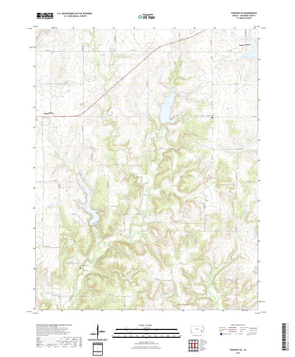
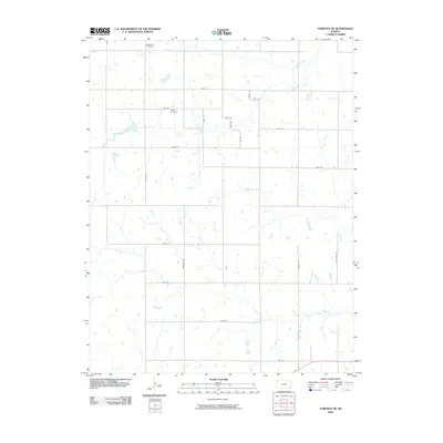
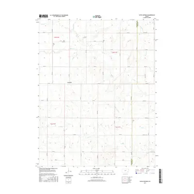
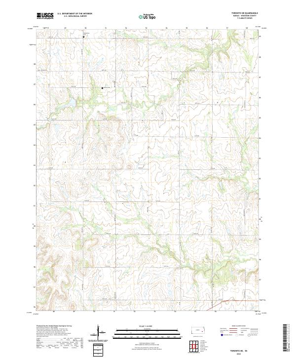
2022 Map of Toronto SE
USGS Topo · Published 2022About this map
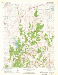
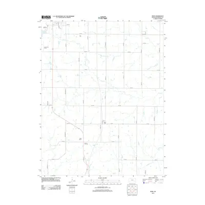
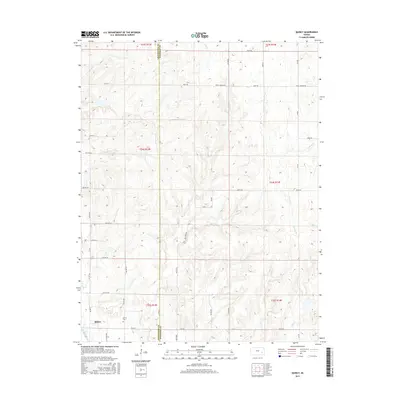
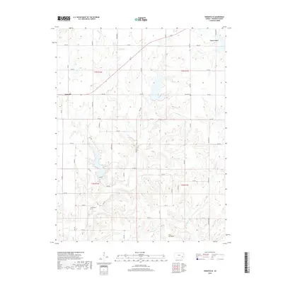
Silver City Dome rises in the southern reaches of this landscape, a distinctive geological feature in a region defined by the meandering drainages of Sandy Cr and Little Sandy Cr. The northeastern corner is anchored by the outskirts of Yates Center, where the headwaters of South Owl Creek begin their course across the prairie. The settlement pattern is typical of the Kansas plains, with a rigid grid of rural roads such as Longhorn Rd and Indian Rd bisecting the terrain.
Find a feature on this map
41 named features on this map. Tap any name to fly to it.
Don’t see what you’re looking for? This feature index may not catch every label — zoom into the map to look around manually.
Map Details
Editions of this 2022 Toronto SE Map
This is the sole edition of this map. No revisions or reprints were ever made.
Historical Maps of Yates Center Through Time
30 maps found
1968 Quincy
Woodson County, KS
1968 Rose
Woodson County, KS
1968 Toronto NE
Woodson County, KS
1968 Toronto SE
Woodson County, KS
1971 Yates Center SE
Woodson County, KS
2009 Quincy
Woodson County, KS
2009 Rose
Woodson County, KS
2009 Toronto NE
Woodson County, KS
2009 Toronto SE
Woodson County, KS
2010 Yates Center SE
Woodson County, KS
2012 Quincy
Woodson County, KS
2012 Rose
Woodson County, KS
2012 Toronto NE
Woodson County, KS
2012 Toronto SE
Woodson County, KS
2012 Yates Center SE
Woodson County, KS
2015 Quincy
Woodson County, KS
2015 Rose
Woodson County, KS
2015 Toronto NE
Woodson County, KS
2015 Toronto SE
Woodson County, KS
2015 Yates Center SE
Woodson County, KS
2018 Quincy
Woodson County, KS
2018 Rose
Woodson County, KS
2018 Toronto NE
Woodson County, KS
2018 Toronto SE
Woodson County, KS
2018 Yates Center SE
Woodson County, KS
2022 Quincy
Woodson County, KS
2022 Rose
Woodson County, KS
2022 Toronto NE
Woodson County, KS
2022 Toronto SE
Woodson County, KS
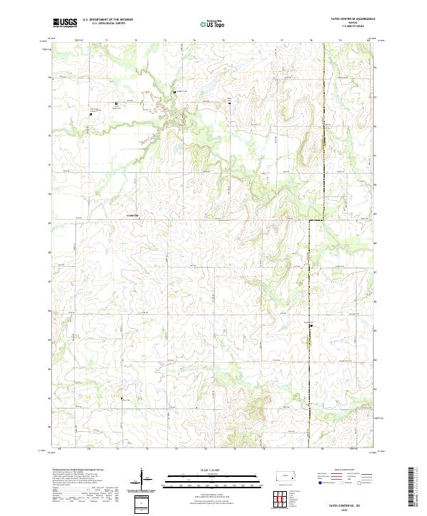
2022 Yates Center SE
Woodson County, KS