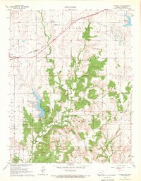
1968 Map of Toronto SE
USGS Topo · Published 1969About this map
The Old Indian Treaty Boundary cuts diagonally across the southern landscape of this Woodson County region, marking a historical line in the Kansas terrain. Near the western edge, the settlement of Batesville sits along the Missouri Pacific railroad, which serves as a primary transport corridor through Center and Toronto townships. This 1960s survey documents a landscape defined by significant energy extraction, including the Quincy Field, Yates Center Oil Field, and Belmont Oil Field.
Find a feature on this map
19 named features on this map. Tap any name to fly to it.
Don’t see what you’re looking for? This feature index may not catch every label — zoom into the map to look around manually.
Map Details
Editions of this 1968 Toronto SE Map
This is the sole edition of this map. No revisions or reprints were ever made.
Other maps of this area

1886 · Fredonia
USGS Topo · 1:125,000

1894 · Fredonia
USGS Topo · 1:125,000

1938 · Fredonia
USGS Topo · 1:62,500

1938 · Altoona
USGS Topo · 1:62,500

1939 · Altoona
USGS Topo · 1:48,000

1939 · Fredonia
USGS Topo · 1:48,000

1942 · Fredonia
USGS Topo · 1:62,500

1943 · Fredonia
USGS Topo · 1:62,500

1943 · Altoona
USGS Topo · 1:62,500

1947 · Joplin
USGS Topo · 1:250,000