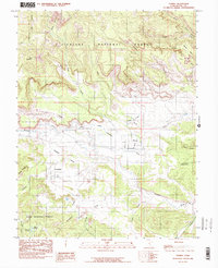
1985 Map of Torrey
USGS Topo · Published 1985About this map
Torrey and Teasdale anchor this mid-1980s survey of southern Utah, where the high plateaus meet the intricate drainage systems of the Fremont River. The landscape is defined by the sharp transition between the timbered heights of the Fishlake National Forest to the north and the Dixie National Forest in the south. Between these forest boundaries, the terrain opens into the wide expanse of Poverty Flat and the Teasdale Bench, revealing the vital role of water management in this arid region through features like the Torrey Canal. The map captures a detailed topography of mesas and canyons, including Meeks Mesa and the sheer descent of Velvet Ridge. Farther south, high-altitude water sources like Coleman Reservoir and the Flatiron Lakes suggest the importance of seasonal grazing allotments and resource management in the high desert back-country.
Find a feature on this map
33 named features on this map. Tap any name to fly to it.
Don’t see what you’re looking for? This feature index may not catch every label — zoom into the map to look around manually.
Map Details
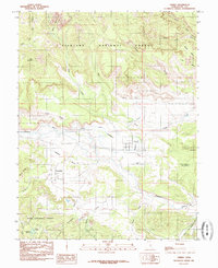
Editions of this 1985 Torrey Map
2 editions found
Other maps of this area

1885 · Fish Lake
USGS Topo · 1:250,000

1896 · Fish Lake
USGS Topo · 1:250,000

1952 · Notom 2 NW
USGS Topo · 1:24,000

1952 · Loa 1 SE
USGS Topo · 1:24,000

1952 · Notom 3 NW
USGS Topo · 1:24,000

1952 · Notom 2 SE
USGS Topo · 1:24,000

1952 · Notom 2 SW
USGS Topo · 1:24,000

1952 · Notom 2 NE
USGS Topo · 1:24,000

1952 · Notom 3 NE
USGS Topo · 1:24,000

1952 · Grover
USGS Topo · 1:62,500