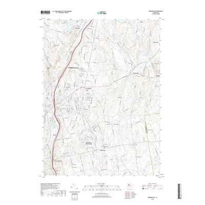
2018 Map of Torrington
USGS Topo · Published 2018About this map
The city of Torrington serves as the industrial and social heart of this 2018 survey, centered on the confluence of the Still River and the Naugatuck River. The landscape reflects a well-developed network of hills and water bodies typical of Litchfield County, where terrain features like Walnut Mtn and Cotton Hill dictated the historical placement of roads such as the Litchfield Tpke. Evidence of long-standing community heritage is found in the dense concentration of cemeteries, from the Sons of Jacob Cem in the north to the family-named Scoville Cem and South Cem near the town of Harwinton. The presence of several distinct church and burial sites suggests a collection of close-knit villages, including Bakersville and Burrville, that have maintained their identity even as the larger urban centers expanded around them.
Find a feature on this map
63 named features on this map. Tap any name to fly to it.
Don’t see what you’re looking for? This feature index may not catch every label — zoom into the map to look around manually.
Map Details
Editions of this 2018 Torrington Map
This is the sole edition of this map. No revisions or reprints were ever made.
Other maps of this area

1892 · Winsted
USGS Topo · 1:62,500

1892 · Meriden
USGS Topo · 1:62,500

1892 · Granby
USGS Topo · 1:62,500

1893 · Waterbury
USGS Topo · 1:62,500

1893 · Meriden
USGS Topo · 1:62,500

1904 · Waterbury
USGS Topo · 1:62,500

1904 · Litchfield
USGS Topo · 1:125,000

1906 · Farmington
USGS Topo · 1:125,000

1946 · Bristol
USGS Topo · 1:31,680

1947 · Hartford
USGS Topo · 1:250,000