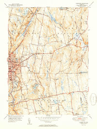
1951 Map of Torrington
USGS Topo · Published 1951About this map
Industrial and residential development centers on Torrington in the early 1950s, where the New York New Haven and Hartford railroad follows the course of the Naugatuck River. The map captures the city's infrastructure at mid-century, featuring the Armory, Sewage Disposal plant, and the Radio Tower (WTOR). Beyond the urban core, the landscape transitions into the hills of the Paugnut State Forest and the quiet waters of Burr Pond and Lake Harwinton.
Find a feature on this map
62 named features on this map. Tap any name to fly to it.
Don’t see what you’re looking for? This feature index may not catch every label — zoom into the map to look around manually.
Map Details
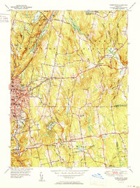
Editions of this 1951 Torrington Map
2 editions found
Other maps of this area

1892 · Winsted
USGS Topo · 1:62,500

1892 · Meriden
USGS Topo · 1:62,500

1892 · Granby
USGS Topo · 1:62,500

1893 · Waterbury
USGS Topo · 1:62,500

1893 · Meriden
USGS Topo · 1:62,500

1904 · Waterbury
USGS Topo · 1:62,500

1904 · Litchfield
USGS Topo · 1:125,000

1906 · Farmington
USGS Topo · 1:125,000

1946 · Bristol
USGS Topo · 1:31,680

1947 · Hartford
USGS Topo · 1:250,000