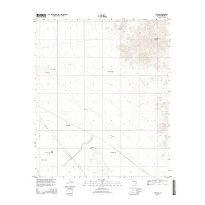
2015 Map of Tortuga
USGS Topo · Published 2015About this map
Tortuga stands as a lonely point of reference in this landscape defined by the engineered waters of the Coachella Canal and the natural barriers of the Colorado Desert. The irrigation infrastructure cuts a sharp diagonal across the East Mesa, supporting the agricultural margins of the Imperial Valley while buffered by the shifting sands of the Algodones Dunes. To the northeast, the terrain rises sharply into the Chocolate Mountains, where Salvation Pass offers a break in the high ground. Local transit and maintenance routes like Ted Kipf Rd and Green Rd provide the only passage through this arid expanse, connecting the canal works to the surrounding desert washes. The map details the delicate balance between the arid environment of Mammoth Wash and the vital water delivery systems essential to the region's development.
Find a feature on this map
16 named features on this map. Tap any name to fly to it.
Don’t see what you’re looking for? This feature index may not catch every label — zoom into the map to look around manually.
Map Details
Editions of this 2015 Tortuga Map
This is the sole edition of this map. No revisions or reprints were ever made.
Other maps of this area

1940 · Iris
USGS Topo · 1:62,500

1940 · Iris Pass
USGS Topo · 1:62,500

1945 · Iris Pass
USGS Topo · 1:62,500

1945 · Iris
USGS Topo · 1:62,500

1953 · Acolita
USGS Topo · 1:24,000

1953 · Chuckwalla Spring
USGS Topo · 1:62,500

1953 · Acolita
USGS Topo · 1:62,500

1954 · Salton Sea
USGS Topo · 1:250,000

1955 · Tortuga
USGS Topo · 1:24,000

1955 · Salton Sea
USGS Topo · 1:250,000