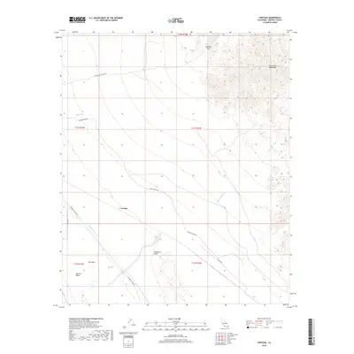
2018 Map of Tortuga
USGS Topo · Published 2018About this map
Chocolate Mountains dominate the northeastern corner of this arid landscape, where Salvation Pass provides a natural corridor through the high terrain. The map captures a vital intersection of water management and desert geography, with the Coachella Canal cutting across the southwestern reaches near East Mesa and the edge of the Imperial Valley. This infrastructure represents a critical lifeline for the region's agricultural and municipal needs, starkly contrasted by the shifting sands of the Algodones Dunes to the east.
Find a feature on this map
19 named features on this map. Tap any name to fly to it.
Don’t see what you’re looking for? This feature index may not catch every label — zoom into the map to look around manually.
Map Details
Editions of this 2018 Tortuga Map
This is the sole edition of this map. No revisions or reprints were ever made.
Other maps of this area

1940 · Iris
USGS Topo · 1:62,500

1940 · Iris Pass
USGS Topo · 1:62,500

1945 · Iris Pass
USGS Topo · 1:62,500

1945 · Iris
USGS Topo · 1:62,500

1953 · Acolita
USGS Topo · 1:24,000

1953 · Chuckwalla Spring
USGS Topo · 1:62,500

1953 · Acolita
USGS Topo · 1:62,500

1954 · Salton Sea
USGS Topo · 1:250,000

1955 · Tortuga
USGS Topo · 1:24,000

1955 · Salton Sea
USGS Topo · 1:250,000