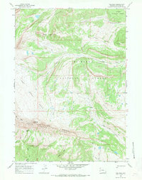
1967 Map of Tosi Peak
USGS Topo · Published 1971About this map
The Gros Ventre Range and Sawtooth Range dominate this 1967 survey of Sublette County, marking the high-altitude divide between the Teton National Forest and Bridger National Forest. The landscape is defined by its dramatic relief, reaching its height at Tosi Peak and the sharp turn in the terrain known as The Elbow. Significant water features like Clear Creek and Tosi Creek drain the western slopes, while the Big Twin Water Dog Lakes sit in the southeastern corner.
Find a feature on this map
24 named features on this map. Tap any name to fly to it.
Don’t see what you’re looking for? This feature index may not catch every label — zoom into the map to look around manually.
Map Details
Editions of this 1967 Tosi Peak Map
2 editions found
Other maps of this area

1907 · Gros Ventre
USGS Topo · 1:125,000

1910 · Gros Ventre
USGS Topo · 1:125,000

1955 · Driggs
USGS Topo · 1:250,000

1958 · Driggs
USGS Topo · 1:250,000

1962 · Driggs
USGS Topo · 1:250,000
1966 · Pass Peak
USGS Topo · 1:24,000
1966 · Dodge Butte
USGS Topo · 1:24,000
1967 · Tosi Peak
USGS Topo · 1:24,000
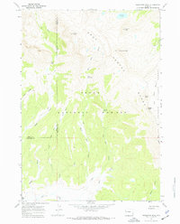
1967 · Doubletop Peak
USGS Topo · 1:24,000
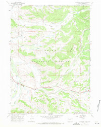
1967 · Raspberry Ridge
USGS Topo · 1:24,000