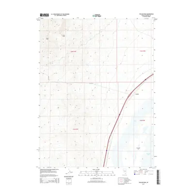
2014 Map of Toulon Peak
USGS Topo · Published 2014About this map
Toulon Peak and the high ridges of the Trinity Range dominate the western portion of this Pershing County landscape, where the high desert meets the terminal basin of the Humboldt River. In the valley below, the map documents a complex hydrological system including Toulon Lake, the expansive Humboldt Sink, and Humboldt Lake. These features represent the end of one of the Great Basin’s most significant internal drainage systems, where water periodically collects and evaporates in the desert floor.
Find a feature on this map
12 named features on this map. Tap any name to fly to it.
Don’t see what you’re looking for? This feature index may not catch every label — zoom into the map to look around manually.
Map Details
Editions of this 2014 Toulon Peak Map
This is the sole edition of this map. No revisions or reprints were ever made.
Other maps of this area

1908 · Carson Sink
USGS Topo · 1:250,000

1910 · Carson Sink
USGS Topo · 1:250,000

1931 · Lovelock
USGS Topo · 1:250,000

1935 · Lovelock
USGS Topo · 1:250,000

1951 · Carson Sink
USGS Topo · 1:62,500

1951 · Desert Peak
USGS Topo · 1:62,500

1955 · Lovelock
USGS Topo · 1:250,000

1956 · Toulon
USGS Topo · 1:62,500

1957 · Reno
USGS Topo · 1:250,000

1959 · Lovelock
USGS Topo · 1:250,000