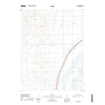
2018 Map of Toulon Peak
USGS Topo · Published 2018About this map
Toulon and its surrounding wetlands serve as a focal point in this high-desert landscape within Pershing County. The terrain transitions sharply from the heights of the Trinity Range, anchored by Toulon Peak, down to the hydrologically significant basin of the Humboldt Sink. This 2018 survey captures the intricate boundary where the mountains meet the sprawling catchment area of Humboldt Lake and Toulon Lake. A critical water source, Toulon Spring, is located at the foot of the western slopes, suggesting its historical importance in an otherwise arid environment. The map details the modern transportation corridor, showing how Frontage Rd and local routes like Ragged Rd navigate the edges of the sink, providing a clear record of the physical and human geography of this Nevada interior.
Find a feature on this map
13 named features on this map. Tap any name to fly to it.
Don’t see what you’re looking for? This feature index may not catch every label — zoom into the map to look around manually.
Map Details
Editions of this 2018 Toulon Peak Map
This is the sole edition of this map. No revisions or reprints were ever made.
Other maps of this area
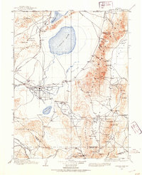
1908 · Carson Sink
USGS Topo · 1:250,000
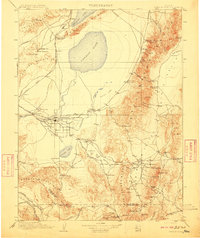
1910 · Carson Sink
USGS Topo · 1:250,000

1931 · Lovelock
USGS Topo · 1:250,000

1935 · Lovelock
USGS Topo · 1:250,000
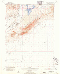
1951 · Carson Sink
USGS Topo · 1:62,500
1951 · Desert Peak
USGS Topo · 1:62,500

1955 · Lovelock
USGS Topo · 1:250,000
1956 · Toulon
USGS Topo · 1:62,500
1957 · Reno
USGS Topo · 1:250,000

1959 · Lovelock
USGS Topo · 1:250,000