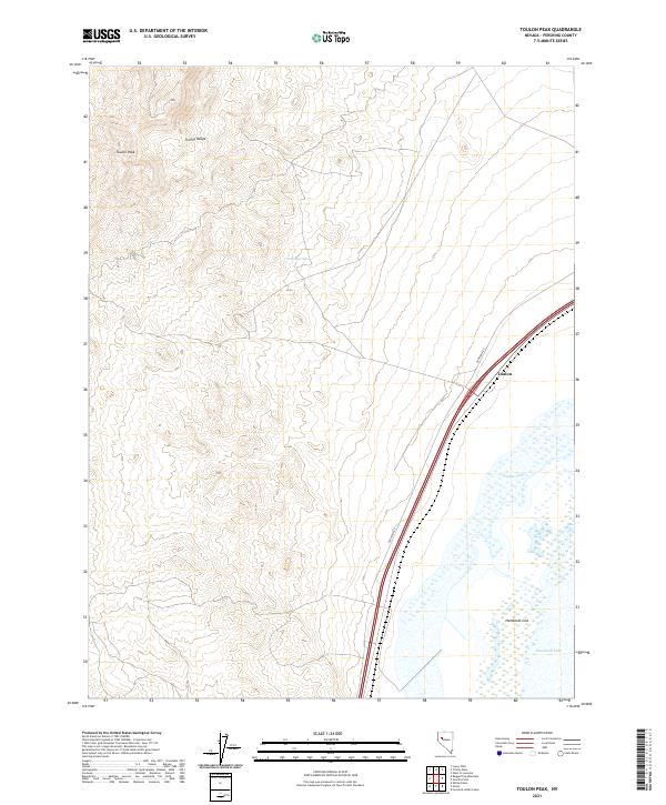
2021 Map of Toulon Peak
USGS Topo · Published 2021About this map
The Trinity Range dominates the northwestern portion of this landscape, culminating at Toulon Peak where the elevation rises steeply above the desert floor. This area of Pershing County illustrates a stark contrast between high-altitude ridges and the low-lying basins to the east. Water is a defining yet ephemeral presence here, marked by the presence of Toulon Spring and the expansive Humboldt Sink. The hydrological character of the region is further defined by Humboldt Lake and Toulon Lake, which occupy the lowest elevations where drainage terminates.
Find a feature on this map
12 named features on this map. Tap any name to fly to it.
Don’t see what you’re looking for? This feature index may not catch every label — zoom into the map to look around manually.
Map Details
Editions of this 2021 Toulon Peak Map
This is the sole edition of this map. No revisions or reprints were ever made.
Other maps of this area

1908 · Carson Sink
USGS Topo · 1:250,000

1910 · Carson Sink
USGS Topo · 1:250,000

1931 · Lovelock
USGS Topo · 1:250,000

1935 · Lovelock
USGS Topo · 1:250,000

1951 · Carson Sink
USGS Topo · 1:62,500

1951 · Desert Peak
USGS Topo · 1:62,500

1955 · Lovelock
USGS Topo · 1:250,000

1956 · Toulon
USGS Topo · 1:62,500

1957 · Reno
USGS Topo · 1:250,000

1959 · Lovelock
USGS Topo · 1:250,000