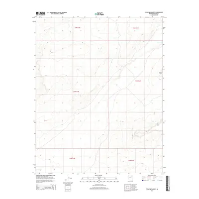
2014 Map of Tovar Mesa West
USGS Topo · Published 2014About this map
Tovar Mesa dominates the southern landscape of this Navajo County region, where the high desert floor is carved by the winding course of Polacca Wash. This 2014 survey documents the stark topographic relief of the Colorado Plateau, notably at Elbow Point, a prominent overlook on the mesa's eastern edge. The map captures the intricate drainage patterns that define the arid terrain, illustrating how seasonal water flow shapes the land. This resource is essential for understanding the geographic boundaries between the Painted Desert and the higher mesas of the Hopi Reservation, providing a precise look at the land's contours and natural landmarks before recent environmental shifts.
Find a feature on this map
9 named features on this map. Tap any name to fly to it.
Don’t see what you’re looking for? This feature index may not catch every label — zoom into the map to look around manually.
Map Details
Editions of this 2014 Tovar Mesa West Map
This is the sole edition of this map. No revisions or reprints were ever made.
Other maps of this area

1883 · Tusayan
USGS Topo · 1:250,000

1886 · Tusayan
USGS Topo · 1:250,000

1947 · Flagstaff
USGS Topo · 1:250,000

1954 · Flagstaff
USGS Topo · 1:250,000

1955 · Leupp
USGS Topo · 1:62,500

1958 · Flagstaff
USGS Topo · 1:250,000

1960 · Flagstaff
USGS Topo · 1:250,000

1962 · Flagstaff
USGS Topo · 1:250,000

1966 · Tovar Mesa
USGS Topo · 1:62,500
1967 · Garces Mesas SE
USGS Topo · 1:24,000