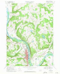
1967 Map of Towanda
USGS Topo · Published 1971About this map
The Susquehanna River defines the landscape of this 1960s survey, carving a deep valley through Bradford County as it flows past the borough of Towanda. The town is the clear focal point, showing a dense grid of streets including Main St and State St, and key civic institutions like the High Sch, Hospital, and St Agnes Sch. Beyond the commercial center, the map captures a transition from industrial activity to rural settlement, featuring several Gravel Pits and the sprawling Lehigh Valley railroad corridor running parallel to the water.
Find a feature on this map
77 named features on this map. Tap any name to fly to it.
Don’t see what you’re looking for? This feature index may not catch every label — zoom into the map to look around manually.
Map Details
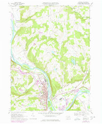
Editions of this 1967 Towanda Map
2 editions found
Other maps of this area

1923 · Towanda
USGS Topo · 1:62,500

1926 · Towanda
USGS Topo · 1:62,500

1939 · Sayre
USGS Topo · 1:62,500

1942 · Sayre
USGS Topo · 1:62,500

1943 · Towanda
USGS Topo · 1:62,500

1943 · Monroeton
USGS Topo · 1:62,500

1943 · Powell
USGS Topo · 1:62,500

1945 · Powell
USGS Topo · 1:62,500

1948 · Sayre
USGS Topo · 1:62,500

1954 · Williamsport
USGS Topo · 1:250,000