
1897 Map of Tower
USGS Topo · Published 1897About this map
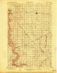
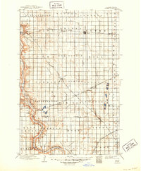
The Sheyenne River carves a deep, winding valley through the western edge of this territory, contrasting sharply with the expansive glacial plains to the east. In the late 1890s, this region of eastern North Dakota was defined by the rapid expansion of the grain-hauling rail lines. The Northern Pacific Main Line bisects the northern half of the map, anchoring established towns like Valley City and Buffalo. Further south, the Minneapolis St. Paul Sault Ste Marie R. R. cuts diagonally through Binghamton toward the settlement of Fingal. This survey captures the systematic township organization and the early development of agricultural shipping hubs such as Enderlin and Lucca. The presence of Ft. Ransom in the southwest corner marks a point of long-standing regional significance along the river bluffs, while numerous smaller post offices and rail stops like Lanona and Cuba reflect the high density of rural settlement during this homesteading era.
Find a feature on this map
54 named features on this map. Tap any name to fly to it.
Don’t see what you’re looking for? This feature index may not catch every label — zoom into the map to look around manually.
Map Details
Editions of this 1897 Tower Map
3 editions found
Other maps of this area

1895 · Lamoure
USGS Topo · 1:125,000

1895 · Casselton
USGS Topo · 1:125,000

1897 · Eckelson
USGS Topo · 1:125,000

1897 · Casselton
USGS Topo · 1:125,000

1907 · Wyndmere
USGS Topo · 1:125,000

1918 · La Moure
USGS Topo · 1:125,000

1952 · Grand Forks
USGS Topo · 1:250,000

1952 · New Rockford
USGS Topo · 1:250,000

1953 · Jamestown
USGS Topo · 1:250,000

1953 · Fargo
USGS Topo · 1:250,000